Time to get my feet wet: hiking in river valleys and enjoying river / creek crossings. Well, and getting out of my comfort zone.
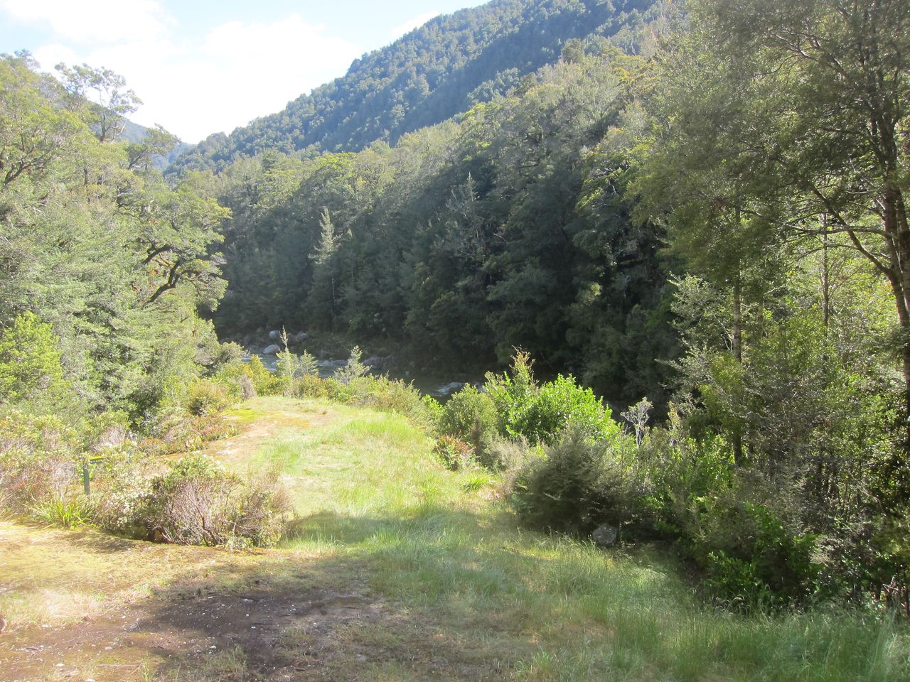
 |
| part of the trail |
The Wangapeka and Leslie-Karamea are actually 2 walks which can be linked. A little side note: people in New Zealand are actually called Kiwis and a hike is called a tramp, which makes a hiker a tramper.
Both tracks are in the lesser known Kahurangi National Park in the northwest of New Zealand's South Island. Check the linked sites about both walks if you would like to know more about them.
All pictures can be found here.
Food for 9 days was packed, intentions were left with my wwoofing hosts and I just had to get to the track from Westport. It was November and the Westcoast here is known for heavy rain in spring. Therefore spare food was needed. Both tracks are not easy ones and I didn't know how fast I could go. It just took me 6 days to walk this tramp, well I only walked for 4 days. Usually people recommend up to 10 days for this route. But more about that later on:
I actually got lucky and was able to hitch hike right to the western trail head of the Wangapeka, which is 10km away from the highway. It is not a busy highway at all. Besides, most highways or roads in New Zealand are small compared to anything else in Europe. NZ is just different in so many ways. Anyway, some Kiwis are just absolutely generous and try to help out tourists and backpackers. Frankly speaking, I never expected to get a ride right to the trail head.
Some rabbits ran away on my first easy miles and a few puddles had to be negotiated. Soon the track started to get a bit steeper. I passed by the first hut for a short break and moved on to the next one. My pace slowed down a bit, as the track was more demanding. The signed trail basically follows the Little Wanganui River. Well sometimes it tends to look like this, though:
 |
| yep, the trail is on the left side, the river is further right |
It got later and later and I arrived at Wangapeka bivy at almost 8:30pm. There was just another half hour of daylight left and I was happy to see this:
 |
| Wangapeka Bivy, new 4 bunk hut |
Well, I needed water and the best source was the close by river. The sandflies and mosquito were already waiting there for me. I enjoyed a big dinner and some alpenglow before I hit the sack quite early. I definitely needed some rest, I was expecting a long and hard day.
The trail got steeper and steeper and was even very slippery sometimes. Travelling is not always fast in NZ.
But these views are worth the effort:
 |
| little waterfall right next to the track |
covered in cold fog. There was no time to waste and I walked down to the Stag Flat shelter.
 |
| tarn right before the saddle |
 |
| saddle in fog |
 |
| looking back towards to saddle, standing near the shelter |
The weather stayed stable and I moved on. At this time I wasn't sure how far I could get and just tried to go as far as possible. I arrived at Trevor Carter Hut at around noon and had a chat with a Canadian - American couple there. This is actually the halfway point of the Wangapeka Track and the southern end of the Leslie-Karamea track.
I was too lazy to walk back to the big bridge for another half hour, jumped into the calm water instead and crossed the Karamea River near Kendall Creek. It was a cold experience though, the last few meters were in hip high water. I should have taken a picture of this, but hey, I had better things to do at that time. The weather was nice and I warmed up fast anyway. I was still making good time and headed to the old Thor Hut.
 |
| one of the amazing little boulder field, stones are covered with red lichen |
 |
| walking in the dry river bed, yeah the river can be that big in massive floods |
I kept going and the trail led me back into the forest. I'm still amazed how good orange trail markers work. They are so easy to spot. The forest was so lush and dense. It was almost intimidating walking alone here. Sometimes it is even hard to figure out where the trail is. I almost got lost a few times, but found my way due to the markers. Heck, this must have happened to quite a few people when the track goes up instead of straight ahead. There were some beaten tracks, short ones though, leading nowhere in particular and I had to walk back and find the trail.
 |
| lush, green and dense forest, somewhere you can see the trail here |
I got to Thor Hut at half past five and decided to walk for another 6km to Venus Hut. The tracks is really close to the beautiful dark green Karamea River. There were some fat and long trout right next to me, which made me thinking about taking a fishing rod next time. This area is actually really known for its fishing qualities. Note though, that the trout here are pretty spooky.
 |
| handrails do help here |
I was back in the forest and walking became more difficult due to slippery roots and rain. It started with a light drizzle, but the real rain was coming for sure. I really pushed myself a lot on this day and my right knee started to hurt a bit. Unfortunately I also slipped on some roots and twisted my left ankle. My left heel wouldn't stop aching for the rest of the trip. The rain didn't do me a favour either. I must have arrived at Venus Hut at 8pm. Again, I was happy to see the hut and my body just wanted a rest after tramping almost 30km through rough terrain. The hut was a big one (12 bunks) and felt like a palace, especially as I had it all for myself. Actually, I was happy that I got that far, cause it started to rain really hard over night. The rain was literally hammering on the roof and woke me up a few times, there was even some close lightening to keep me entertained. The rain didn't stop for over 24 hours and I had a forced rest day, which I didn't mind at all, if I only had brought a book. Lesson learnt for the next time, of course this was the only hut without any books or magazines :)
If you haven't heard or didn't know about true NZ rain, why rivers can be dangerous here and why additional food is needed sometimes, well, just check the next pictures:
 |
| water level in the morning after over 24h rain |
 |
| water level a day later, river still in flood |
I was surprised to see some kayakers coming down the flooded river. They took a short break at my hut and told me that they started on the same day as I did. They hauled their kayaks over Little Wanganui Saddle, crazy. There were even big tree trunks flowing downriver, not the best conditions for water sports.
The river must have dropped by 4 or more meters. I was told that the whole west coast had some massive rain when I got back from my trip. The Buller river basically flooded roads, note that parts of the highway there are 4 or more meters above the big river.
Anyway, the sun was out and I packed my stuff, restocked fire wood and was back on the track. My knee and heel didn't hurt anymore (for a while). And I had to see how far I could get today, if I could make it to the next hut at all, because the river and creeks were still in flood. I was back in the forest and pretty close to the river. Some boulder hopping was involved and I got to the long Karamea Bridge.
 |
| Karamea bridge, it is a long one |
The track went along the true left from now on. But hey, the route description says that I would have to go along the river bed from now on. Well the Karamea was still in flood and there was no trail for me. Great, now I got to walk all the way back. But hang on, what is that orange marker doing there further upstream, opposite from where I was supposed to go. I went there to check it out, saw more markers and gave it a try. This route wasn't marked in any map, although there were trail markers and some old footprints. I climbed up the hill and then I had the pleasure to have some fun with swamps, mud holes and windfall.
 |
| part of the overland track |
I was confident that I went the right way, as this track led north like the actual route. I dropped down to the Karamea river after about 40 minutes and was able to move on. There were a few fishermen and another tramper from NZ at the next hut, who flew in a few days ago. Another way to enjoy the back country. They were quite surprised to see me coming from Venus Hut, they also didn't know of the overland track. I kept walking after a short chat and was on my way to Karamea Bend Hut, where the Leslie River joins the Karamea.
 |
| a few logs got moved by the flooded river |
 |
| part of the track goes along a side arm of the Karamea, of course this is only possible when the river is not in flood |
It was still warm and sunny and it was easy walking for a while. I don't remember how many creeks I crossed. There was water everywhere, basically my feet were wet most of the time. I must have gotten to the next hut at around half past four and decided to keep moving, as I still had some time left and I didn't want to share a hut with a few thousand sandflies. To be fair, they couldn't get inside as long as I didn't open the door.
Anyway, I moved on and there was a nice green cleaning after a while.
 |
| clearing right after Karamea Bend Hut |
The Leslie River was absolutely beautiful. A light blue, shallow and pristine river. My goal was to get to Splugeons Hut and get out of the river valley. The fishermen from the last hut had an accurate forecast and there was another cold front due for tomorrow. I didn't want to be stuck again and pushed myself to keep going. Well, my knee and heel started to hurt after a few hours, just right in time when the track ascended. I had to walk slow, cause my other knee and heel started to complain as well now. Time for painkillers, right on. It wasn't that I hiked another 26km over difficult terrain or was it? Stupid me. I had enough time and food to take my time, but I suppose I had to learn it the hard way. :)
I finally made it to the next hut at 8pm.
 |
| Splugeons Hut |
 |
| great views |
 |
| floorless shelter?? |
I climbed up the small trail behind the hut to get a better view and moved back to prepare dinner and gave my legs a break. And what is that, books, awesome. Just the hut, some good food, the great Kaka singing for me (they sing like they are called) and time to read. The hut was really rustic and old, great that DOC keeps it alive. It has some charm and the front window (it is a tarp actually) can be rolled up in "nice" weather.
The next morning greeted me with rain, I almost had missed it. :) My knees and heels were doing a bit better and it looked like the rain wasn't about to disappear that soon. Time to test my rain gear and play in the rain. The track got steeper and some parts were a new creek too. Almost 45 minutes into the hike I heard thunder. I was still in the forest and the lightening and thunder was far away for a while. But then it got way too close. Suddenly the thunder was louder, and there was a LIGHTNING STRIKE really close to me. Less than 2 seconds before I heard the thunder. One less healthy tree in the forest. It was stricken about 600 meter away from me. WAY to close. It didn't take me too long to get the hell back to the last hut and wait out the storm, because my route would take me to alpine country, where I didn't want to be in a lightening storm. The lightening was in the mountains for another hour and the rain got heavier too. Well, as I had a book this time, I got to wait this out the nice way. I finished the book by the way, it was just 250 pages long, though.
On top of this I figured out that my rain jacket is not waterproof in heavy rain. I was soaked to the bone, but fortunately warm (the light Paramo jacket just didn't work for me in those conditions). My wet clothes also didn't dry overnight in the hut, it was too humid.
It stopped raining the next morning, but my knees and heels still required the obvious painkiller treatment. It was a long and painful way up to Salisbury Lodge. There was some windfall and a new creek went down the track:

It took my over 4 hours to get to my next camp, the recommended time was 2 hours.The vegetation changed with the altitude and there were small mountain beeches covered in moss now. This was also a sign that I was getting closer to the bushline.
 |
| mountain beech |
A few minutes later I got above the bushline and was able to soak in the view: mountains, tussock and flowers pushed around by a strong wind.
 |
| tussock near Tableland (1200m) |
I actually had planed to go up the to top of Mount Arthur, but the most mountains were covered in rain and clouds and my legs just wanted to have another break for a few days anyway. Salisbury Lodge was a great hut, there was even a gas stove and pots. I wasn't alone there, a local family just got there from Mount Arthur hut. They were caught in some strong winds and snow on the mountain and were happy to warm up in front of the fire. I just had it and needed to rest my legs. Painkillers seemed to be my best friends on this trip. It got really windy on my last night and I was happy to be in a hut.
My legs weren't doing better at all the next morning. They were in a really bad shape. I walked to Flora car park with the family I met and we had an easy stroll. We passed some small waterfalls and some big rock bivies.

 | |
| Lower Gridiron Shelter, pretty much the most comfortable rock bivy in the country |
 |
| view from the road near the car par, Golden Bay and Nelson somewhere in the far distance |
Fortunately the family was so kind to offer me a ride to the next road, which really made my day. The road from the car park to next highway is mostly gravel and pretty long. It descends from 900 to 100 meters. I didn't want to walk this! It was windy above the bushline but pretty warm as soon as we got down from the mountains. I hitched back to Westport in the sun the same day and was happy that I didn't have to walk for a while.
It took my knees and heels almost two weeks to stop hurting. I definitely pushed myself a bit too much. Well, I haven't done any hiking before this trip for a while, so I wasn't trained enough and my shoes were new.
I was out of my comfort zone a few times. But in the end it was a good trip and experience. I walked the track really fast, the recommended time is 6 to 10 days, I only walked 4 days and had 2 much needed forced rest days.
And it was time to get a new rain jacket...
And it was time to get a new rain jacket...
No comments:
Post a Comment